Existing Plans and Elevations
In order to begin the design process it was necessary to obtain the plans and elevations for the building that would be used within this design project. To do this I used the Nottingham City Council Planning Portal as the site and some of the surrounding buildings have been considered for development over the past few years.
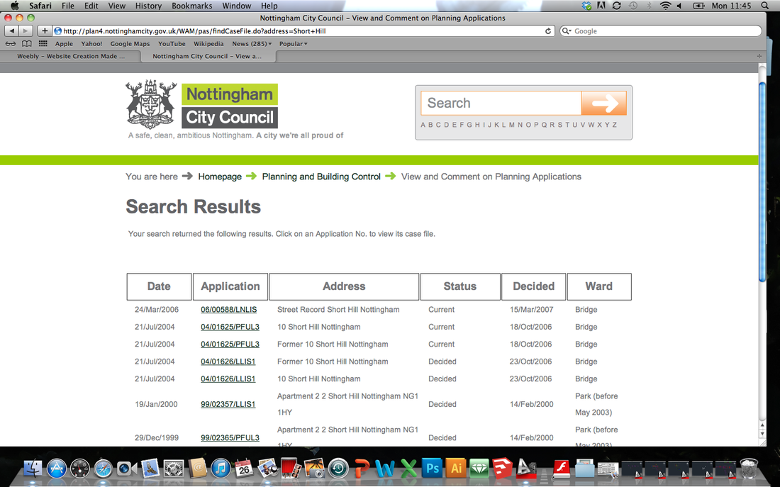
http://plan4.nottinghamcity.gov.uk/WAM/pas/findCaseFile.do?address=Short+Hill
Looking through all the application on the site that were relevant to the building - 10 Short Hill it allowed for the collection of relevant data that could be used within the project. Having found copies of the plans in PDF format and some elevations and sections this gave enough information to begin the design process with regards to sketching and massing space layouts.
As the design process continued it became clear that the plans would need to be in scale and with all aspects such as existing windows and doors clearly marked. Within all the planning applications were the details of the developers as well as the architects. Contacting both of these several times over a time period I was unable to speak to anyone whom could help me so although it would take longer tracing the plans from the PDF underlay was the only options using the documents that were stated to be the existing layout and photographs taken during a site visit.
The traced planes allowed for the design process to continue and a scheme for the interior of the building to be developed. As time progressed it became clear when looking at some site images that there were some inaccuracies with the plans with elements missing. Using the images and other details from the plan it was possible to create an existing building template that is as accurate as possible.
From this the elevations of the building were created that were able to redevelop the external of the building and also for the development of site models and visuals for the building.
Plans and Elevations
Below are the redrawn plans and elevations that are to be used within the development of the project.
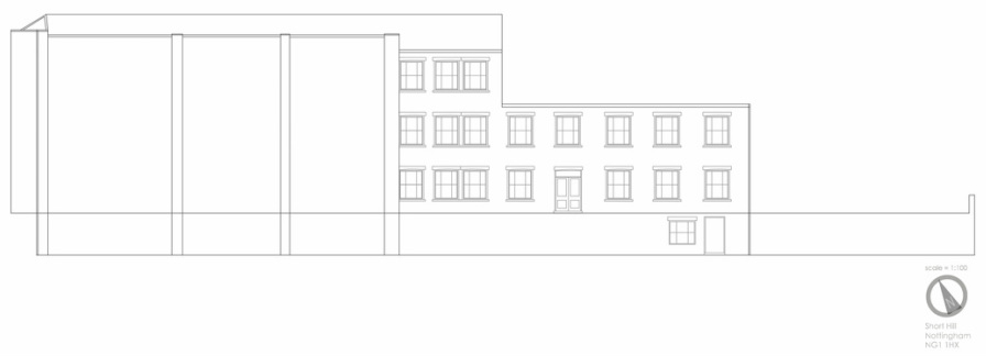
West Elevation
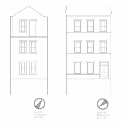
North Elevation and South Elevation
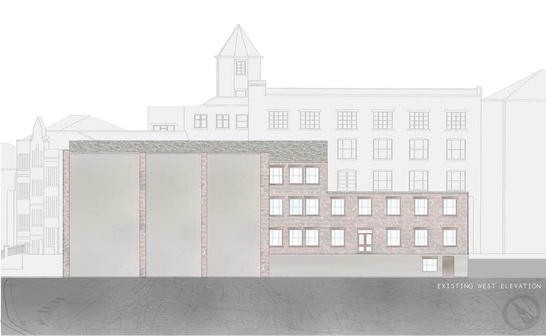
Render Existing West Elevation
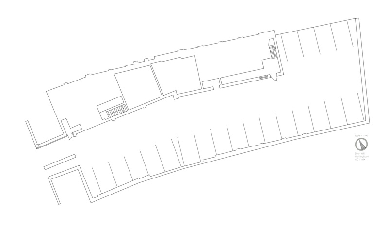
Basement Level Floor
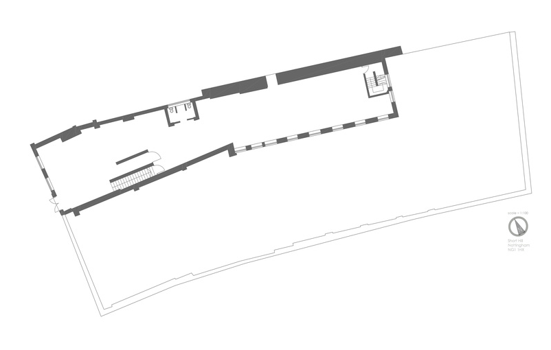
Ground Level Floor
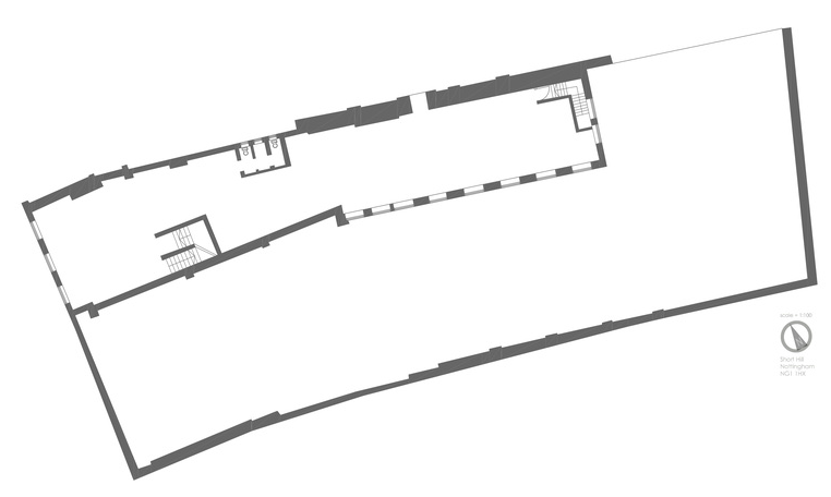
First Floor Level
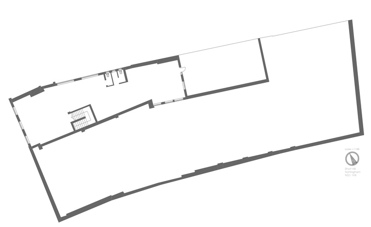
Second Floor Level
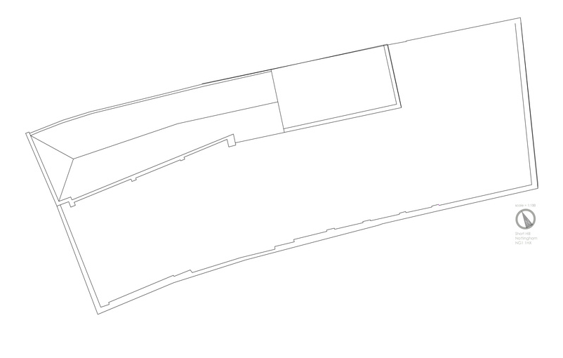
Roof Plan
